
Florida Public Radio Emergency Network (FPREN) Storm Center | By Irene Sans
Rain chances are creeping up during the weekend, and more are coming next week as tropical moisture arrives and is likely to produce large amounts of rain between Monday and Thursday. This is not good news for those still in recovery and cleanup efforts.
What’s going on?
A disturbance will move over the Gulf of Mexico next week and could develop into a tropical system. The National Hurricane Center currently gives it a low chance of developing within the next seven days. This system has more going against it than “for it” to develop. Wind shear is increasing, and this could dent its chances of development. But this same cold front will also push it eastward. This is where the increasing rain chances come in for parts of Florida. The chances of developing into a tropical system are low; these chances could increase, but even a tropical depression or a tropical storm would be bad news, especially for the west coast of Florida, where they are dealing with Helene’s aftermath, and the ground is already well saturated. Any additional rain could develop flooding rapidly. Also, with a tropical system or a large depression, there could be storm surge; even if small, it could bring more problems for the west coast.
What’s up with all the Florida rain coming up?
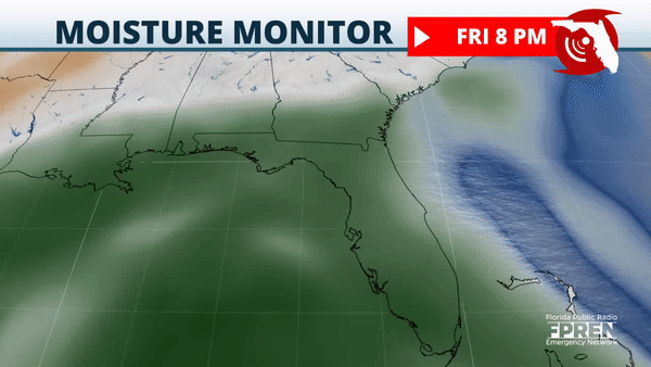
Whether this system develops or not, there will be a large amount of tropical moisture streaming over Florida. At the moment, it seems like this rain will fall mostly across the southern half of Florida, but with the system trying to become better organized over the weekend, there will be variations on where exactly all the rain will fall.
Central Florida, including Tampa and the southern fringe of North Florida, will also see rain chances increase over the weekend due to a front. However, with more tropical moisture, the bulk of the rain will likely arrive between Tuesday and Thursday. Between 3 and 5 inches of rain could fall in addition to the one to three inches that could fall between Sunday and Tuesday.
We forecast between 4 and 8 inches of rain, with some spots that could receive 12 inches during the next 7 days.
We currently forecast between 1 and 3 inches from Thursday night to Saturday night across South Florida and between 2 and 4 inches across the immediate Southwest coast of Florida. The largest quantities will come between Sunday and Tuesday night, when up to 5 inches of rain could fall all across South Florida, including Southwest Florida.
Please plan carefully and check back for updates; we will continue to monitor the evolution of this system and bring you updates to pinpoint where the highest amounts will fall in the coming days.
Leave a Reply


